 05/01/2026
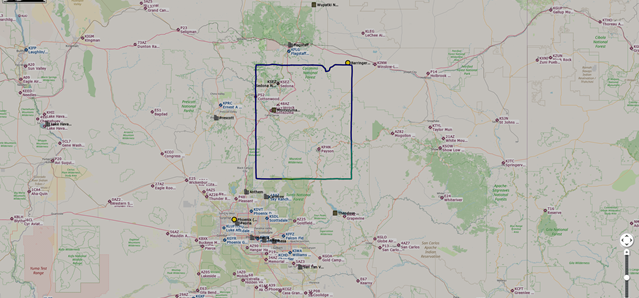
Sedona - Phoenix, Arizona, U.S.A
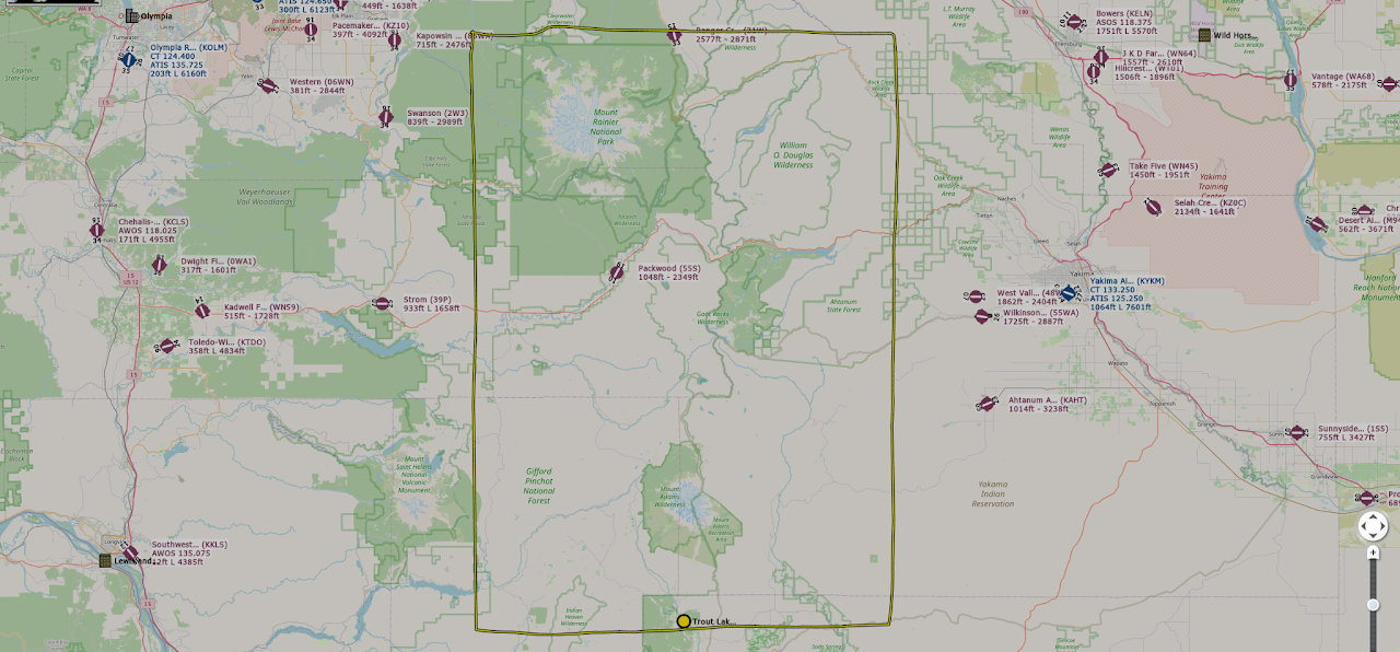
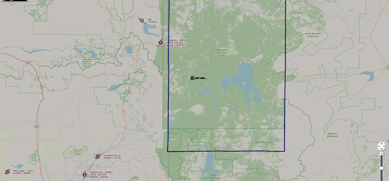
Hi-Res Terrain Map for scenic VFR flying and route planning.
 Air Rhodessa's
FSPGHangar.com
Air Rhodessa's
FSPGHangar.com
Search the PG Hangar coverage map archive by city, region, country, update tag or filename. Use Preview to view a map inside this page, or Open Map to launch the Google Drive file.
I use Little Navmap to track my drone movement inside Microsoft Flight Simulator, then carefully slew around the borders of each photogrammetry area. The aim is to trace where the PG coverage appears to end and where the non-PG scenery begins. Some cities are easy because the photogrammetry has a clear edge or does not blend smoothly, while newer City Update and World Update areas can be much harder to judge. These maps are not intended to be 100% exact, but they are accurate enough to give simmers a useful guide to the main PG coverage area before flying.
Community reference only — not official map data.A clean archive of Hi-Res Terrain Maps for scenic VFR flying, national parks, mountain routes and photogrammetry exploration.
05/01/2026
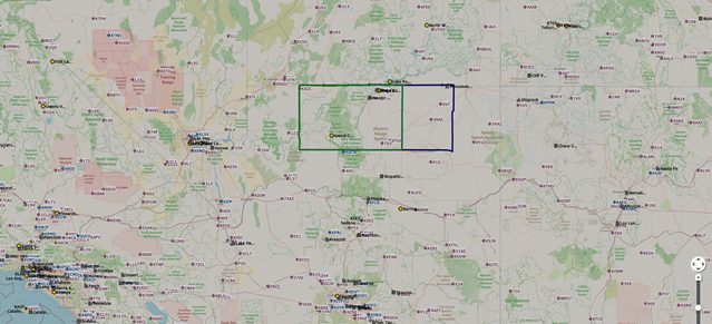
Hi-Res Terrain Map for scenic VFR flying and route planning.
 05/01/2026
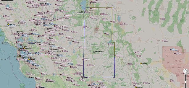
Hi-Res Terrain Map for scenic VFR flying and route planning.
 05/01/2026
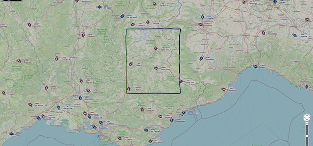
Hi-Res Terrain Map for scenic VFR flying and route planning.
 05/01/2026
 08/01/2026
Hi-Res Terrain Map for scenic VFR flying and route planning.
 09/01/2026
Hi-Res Terrain Map for scenic VFR flying and route planning.
Large Photogrammetry Area POIs
Jimcat has developed a valuable mod that adds POI markers at the centres of the best photogrammetry/TIN national parks. These locations are easy to find inside MSFS using the Search Airport function.
The map displayed uses services provided by Google Maps.
Map data © 2026 Google.
Google Terms of Service: https://policies.google.com/terms
Google Maps Additional Terms: https://www.google.com/intl/en_US/help/terms_maps/
Google Privacy Policy: https://policies.google.com/privacy
The markers and locations for the PG Cities on this map are based on independent data and are presented strictly for informational and voting purposes only.
We do not guarantee the completeness, accuracy, or suitability of this supplementary data. This map should not be used for navigation, legal documentation, or official purposes. By using this map, you acknowledge that you rely on this specific PG City information at your own risk.
The PG city selections and original coverage-map work are produced by Air Rhodessa’s PG Hangar.
Credits — Thank you to the amazing MSFS community for all its valuable input since this project began in July 2024.
Air Rhodessa’s PG Hangar — established July 2024